Architects
Existing conditions, ready for design.
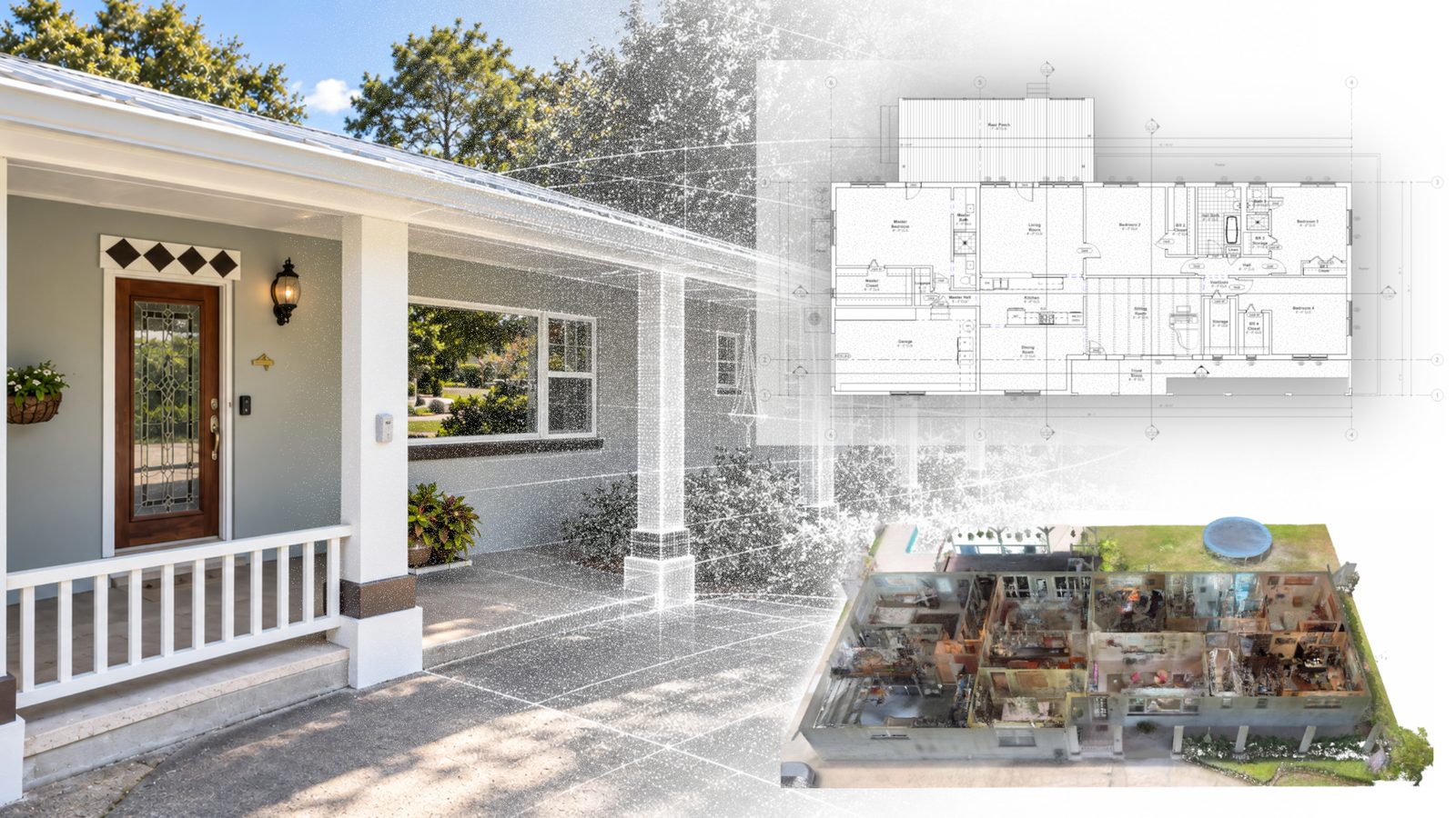
Give the design team a clear, coordinated picture of what is already there- so less time is spent measuring and documenting, and more time can be spent designing.
LiDAR scanning + Spatial capture
TruePoint Spatial uses LiDAR scanning to capture homes, commercial buildings, and sites in 3D, giving your team a clear view of the existing space. Choose the level of service that fits your project- from the 3D scan itself to 2D floor plans, elevations, sections, or a Revit model created by TruePoint Spatial.
Built around your workflow
Every project starts with a detailed 3D scan. Whether it’s for a home, tenant space, or commercial building, use the scan as a reference or add 2D drawings or a Revit model to fit the needs of the project.
Architects
Give the design team a clear, coordinated picture of what is already there- so less time is spent measuring and documenting, and more time can be spent designing.
Builders
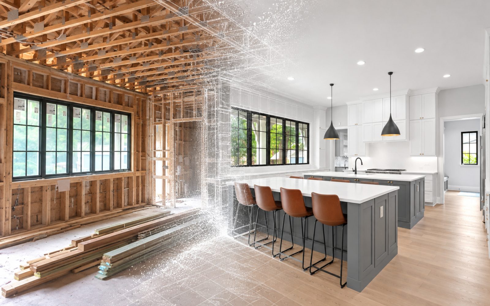
Preserve a detailed record at key stages of construction, making it easier to answer questions, review completed work, and reference captured conditions later.
Homeowners
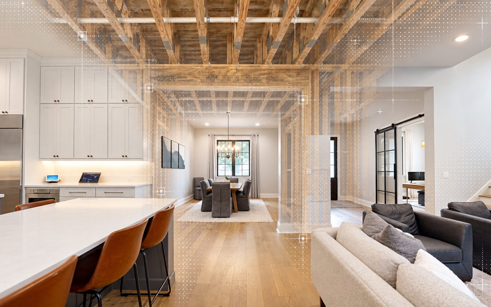
Capture the home and property as they are today, creating a detailed record that can help with renovations, future projects, repairs, and questions that come up years later.
Deliverable options
Every project begins with a 3D Capture of the existing property using LiDAR scanning. The Capture creates a detailed 3D point cloud and serves as the foundation for everything we deliver. Choose the Capture itself, or a package that includes detailed 2D drawings or a Revit model.
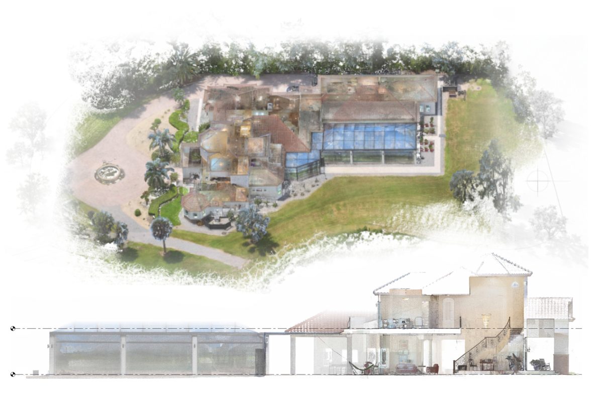
3D Reality Capture
We scan the home, building, or site to create a detailed 3D record of the property as it exists today. The result is a measurable point cloud and visual record that lets you revisit the property, see captured details, and take measurements after the scan is complete.
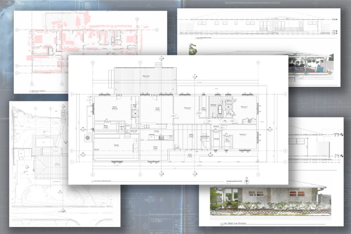
Design-Ready 2D
Build on the 3D Capture with detailed 2D drawings. Floor plans, elevations, and sections are created directly from the scan, giving your project a reliable starting point for design and planning. Start design with the existing conditions already drafted.
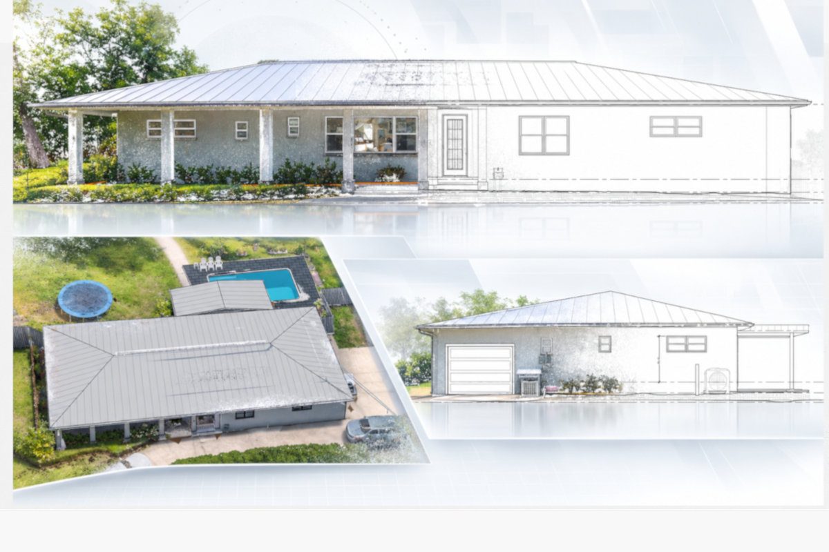
Revit Existing Conditions
Build on Capture and Drawings with a Revit model of the project. Created from the 3D scan, the model gives the design team a ready-to-use digital starting point for renovation, addition, and design work. Start design with the existing property already modeled.
Deliverable Options
| Deliverable | Capture | Drawings | Model |
|---|---|---|---|
| Registered point cloud in E57 | Included | Included | Included |
| Autodesk-ready RCP/RCS point-cloud package | Included | Included | Included |
| Existing-condition drawings in PDF and DWG | Included | Included | |
| Existing-condition Revit model in RVT | Included |
Capture scope
Capture the site, building, or complete property. Select the scope that fits the project- from a home or commercial space to an entire building and surrounding site.
Site Conditions
3D capture of the existing site conditions for planning, design reference, and coordination.
Building Conditions
3D capture of the interior and exterior existing building conditions.
Complete Property
Coordinated 3D capture of the existing site and building conditions.
FAQ
Send us the property address and we’ll provide a quote. Once you're ready to move forward, we’ll get your project scheduled. From there, we'll complete the 3D Capture site visit and then provide the files included with your service. If your project includes Drawings or a Model, we’ll create those from the Capture.
Pricing varies based on the property size and project scope. Capture packages start at $750, Drawings at $1,500, and Model packages at $2,000. Send us the property address and a few details, and we’ll provide a quote for your project.
Yes. We require a deposit when you approve your quote. This confirms your project and secures your place on our schedule.
Typical turnaround time is 3–7 business days after the on-site scan, depending on the project scope and services selected.
No. TruePoint provides measured drawings and Revit models based on the 3D Capture, but we do not provide signed or sealed architectural, engineering, or surveying documents.
Capture gives you the registered point cloud and supporting scan data. Drawings turn that capture into measured 2D plans and elevations. Model takes it one step further with an existing-conditions Revit model.
Have a property in mind?
Send us the property address and a few details about the project. We'll help recommend the right capture scope and deliverables based on what you need.