From Capture to Drawings
Give design a head start.
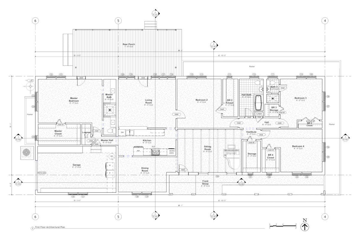
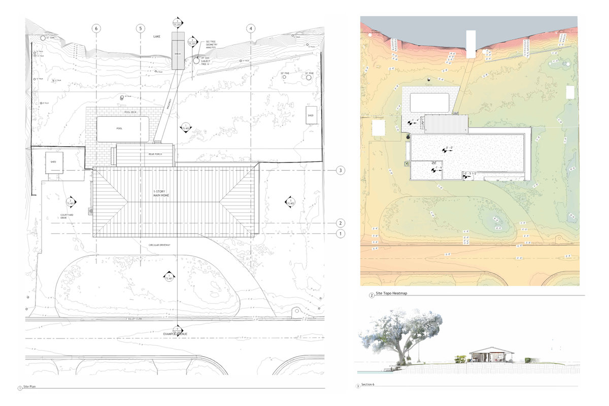
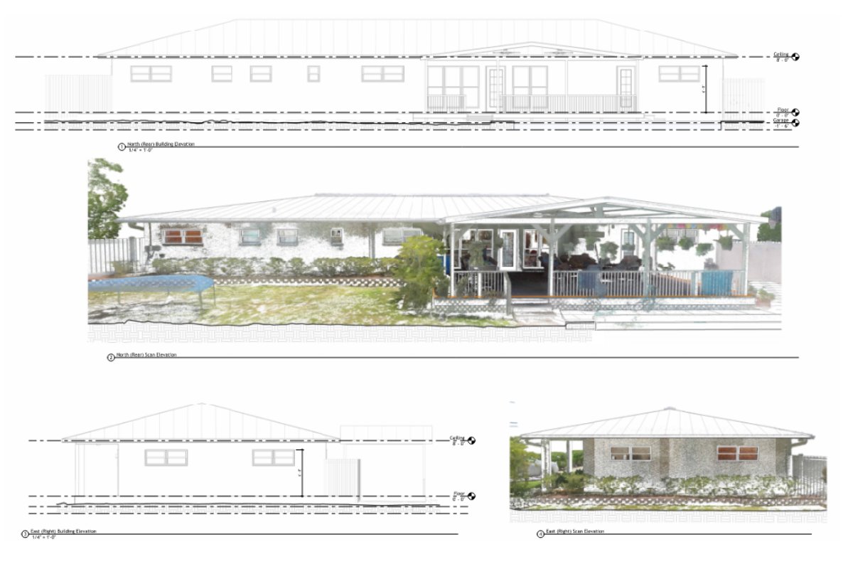
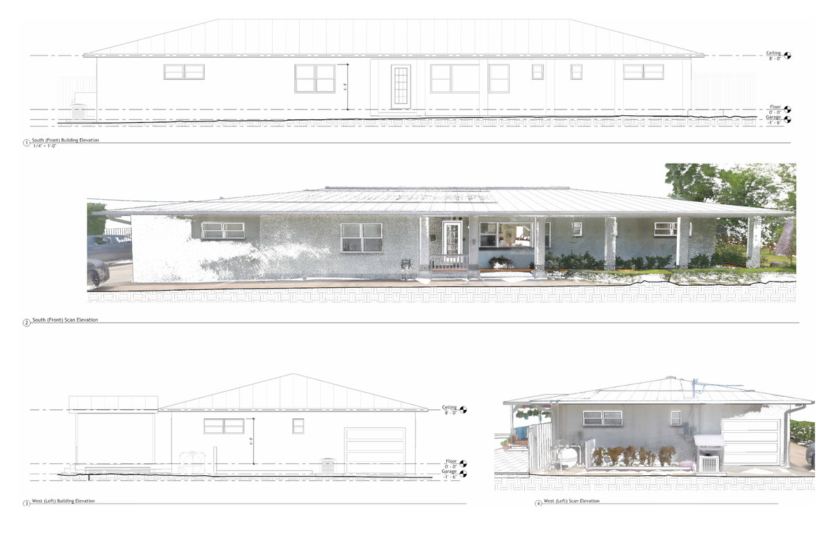
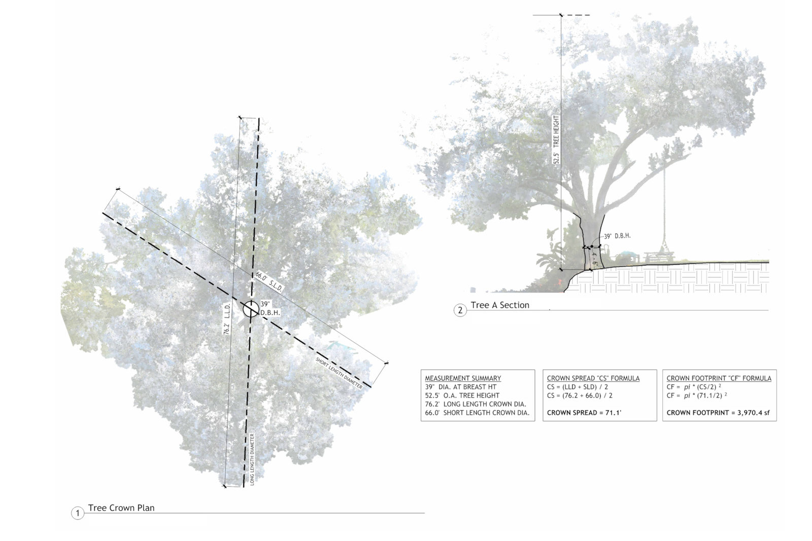
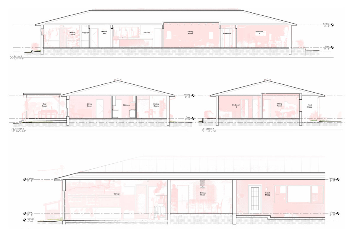
Translate the Capture into measured floor plans, elevations, and sections that are ready to work from. Your team gets a clearer picture of the existing property and a drawing set that can move directly into planning and design.
Design-ready files
Ready-to-use drawings.
Drawings are delivered in both PDF and DWG formats, giving your team a ready-to-use drawing set for review, planning, and continued design. Use the PDFs for easy reference and sharing, or bring the DWG files into your CAD workflow to keep the project moving.