Capture

Millions of measured points- your project captured in 3D.

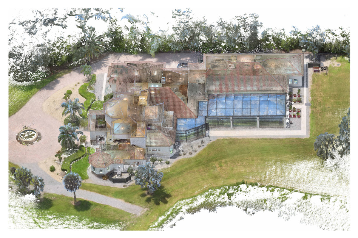
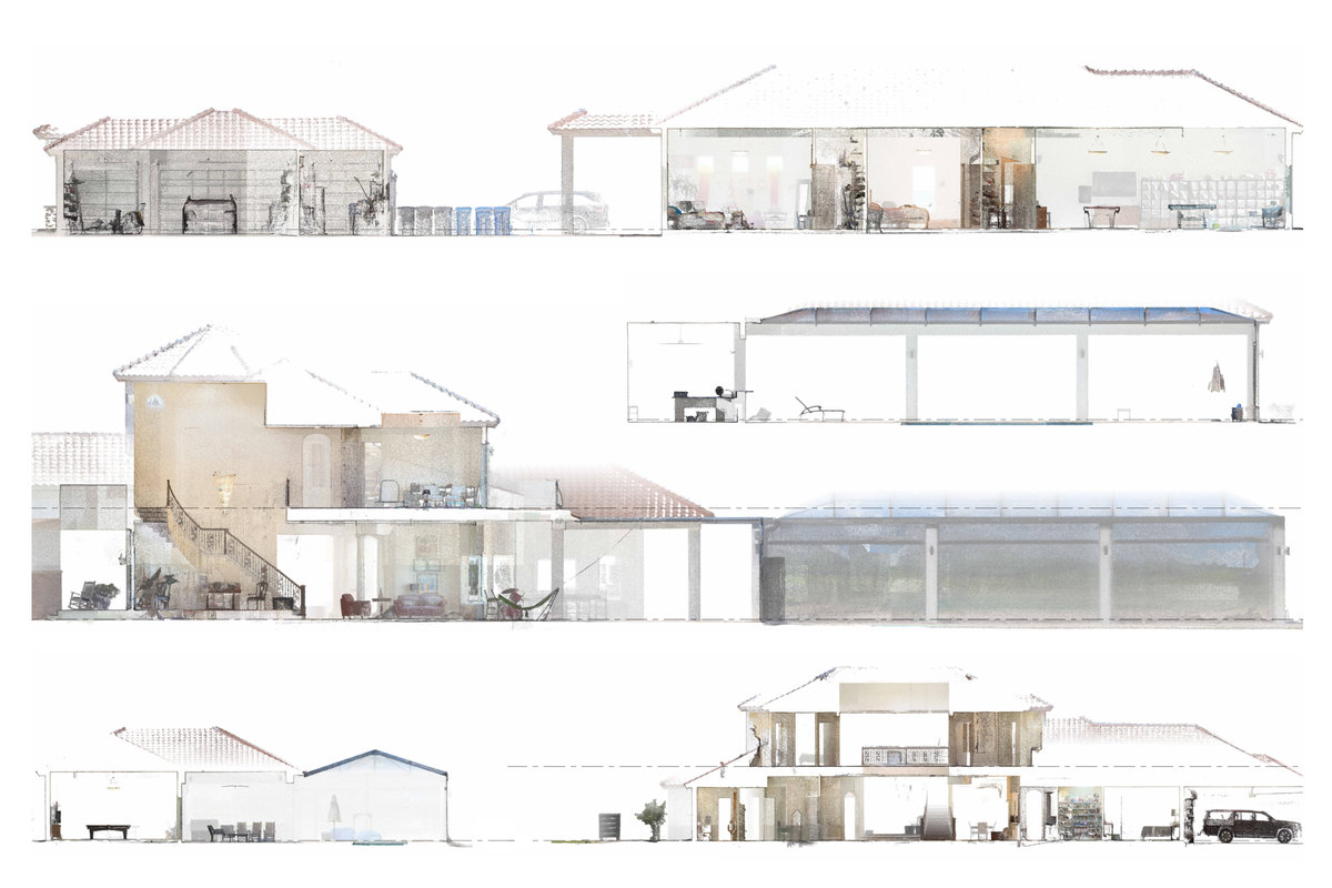
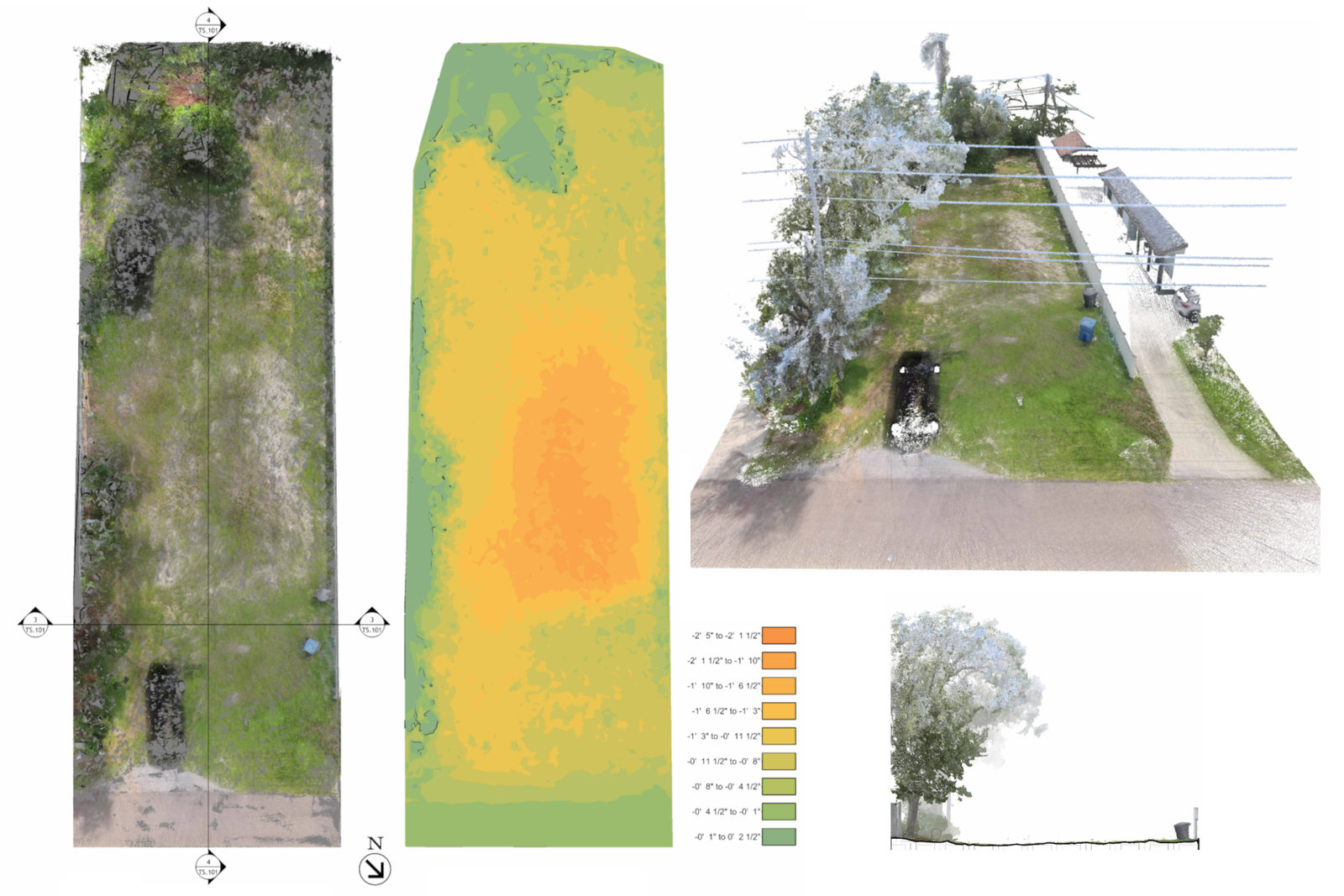
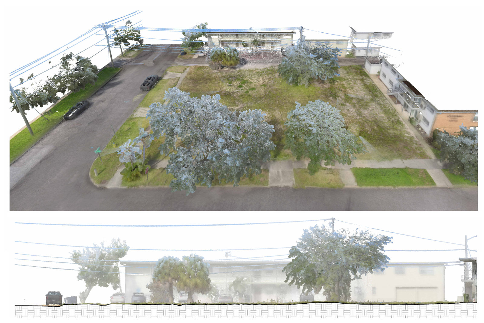
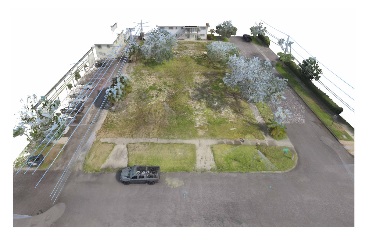
TruePoint Spatial uses LiDAR scanning to collect millions of measurements across the project. The resulting 3D point cloud provides a measurable digital record that gives your team a clear starting point for design.

Capture examples

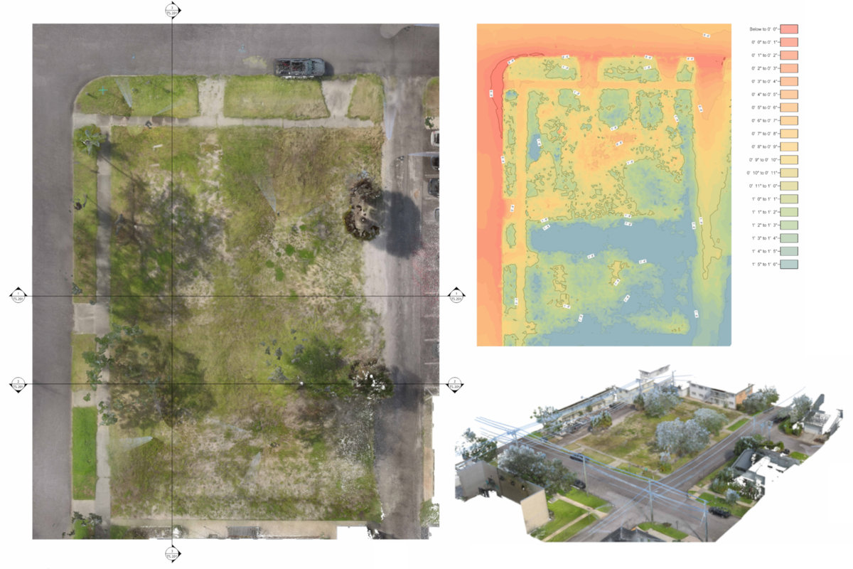
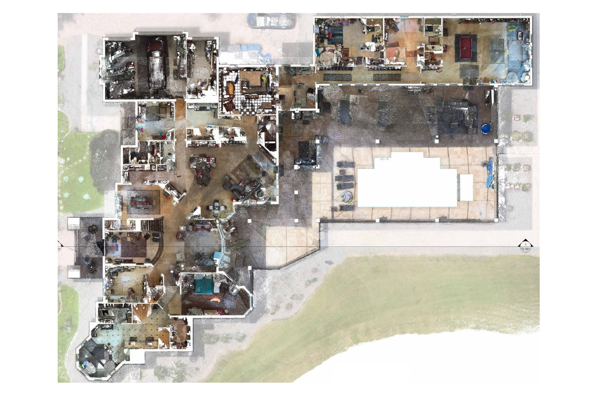
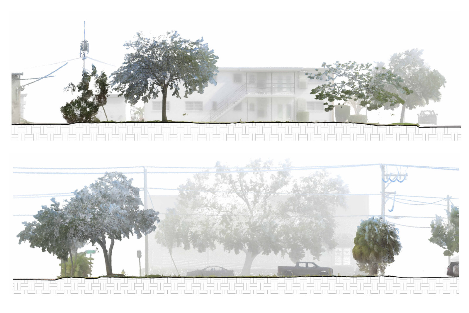
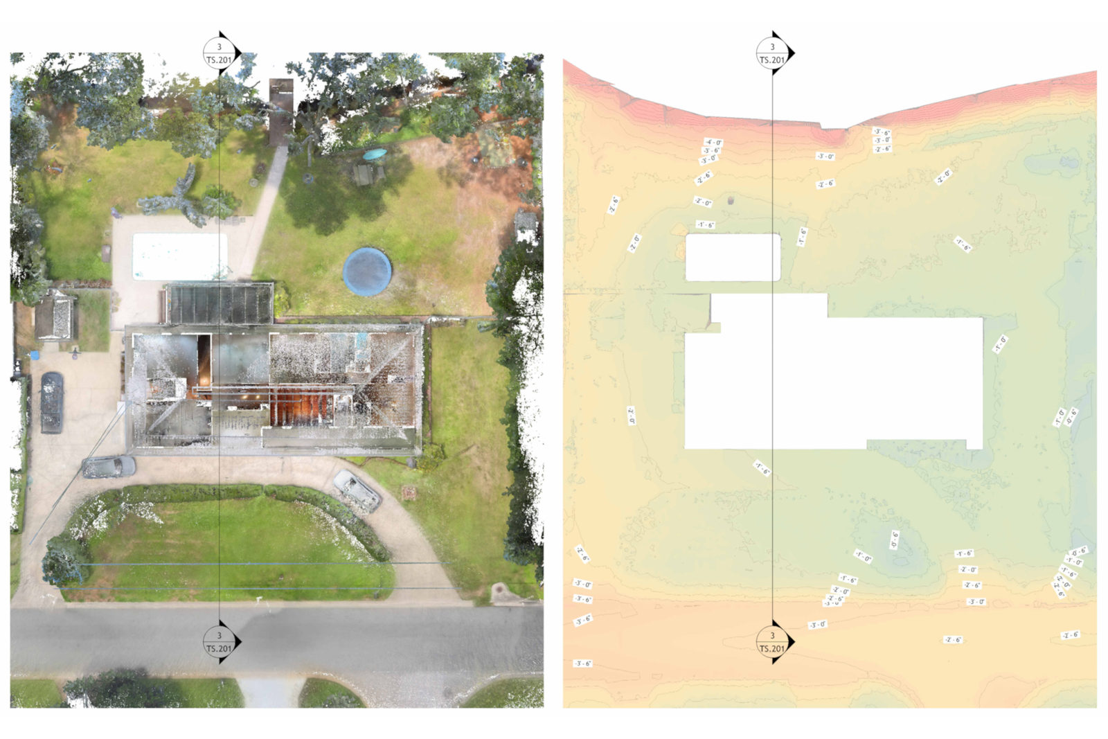
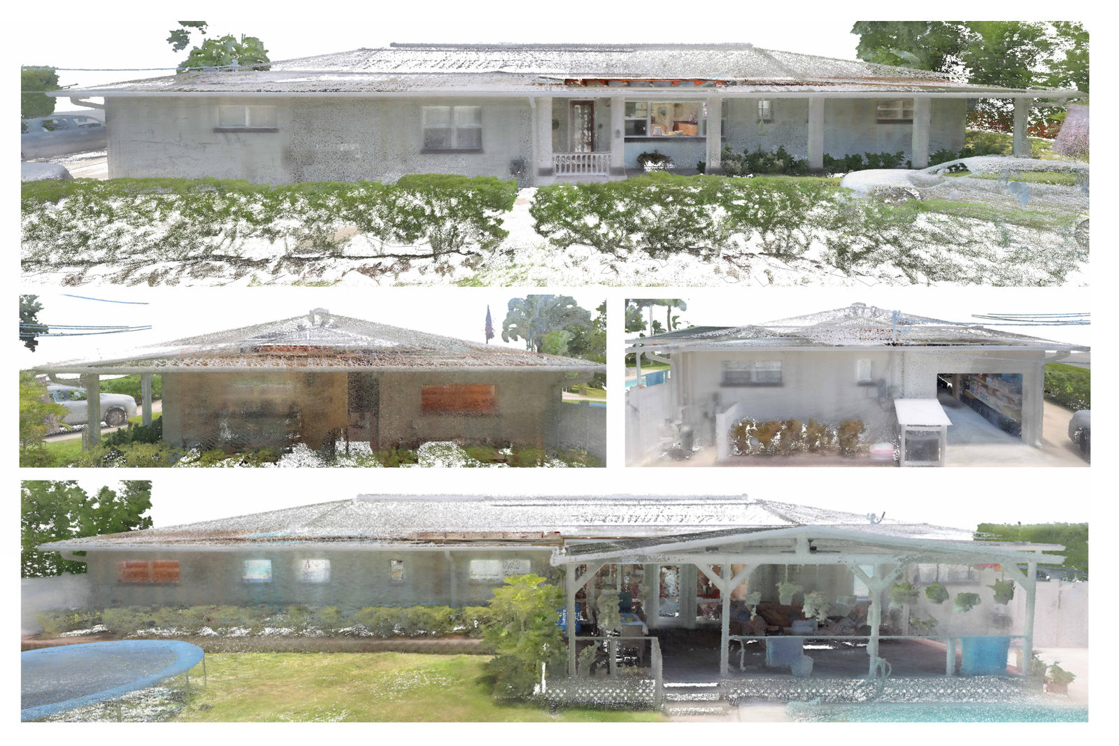
See the captured point cloud from different perspectives.

A single point cloud can be viewed in plan, section, elevation, or 3D, giving your team different ways to understand and work with the captured property.

Plan the capture

Have a project you would like us to capture?

Send us the property address and a few details about the project. We'll help recommend the right capture scope and deliverables based on what you need.